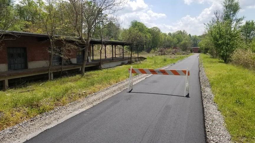
LENOIR, NC (April 21, 2021) — City staff paved 1.5 miles of greenway during the past couple of weeks bringing Lenoir’s total paved greenway to nearly 9 miles. The City’s goal is to connect residents to recreation centers via greenway and sidewalks.
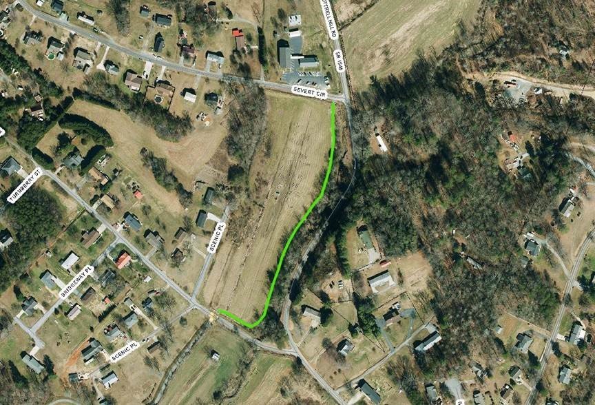
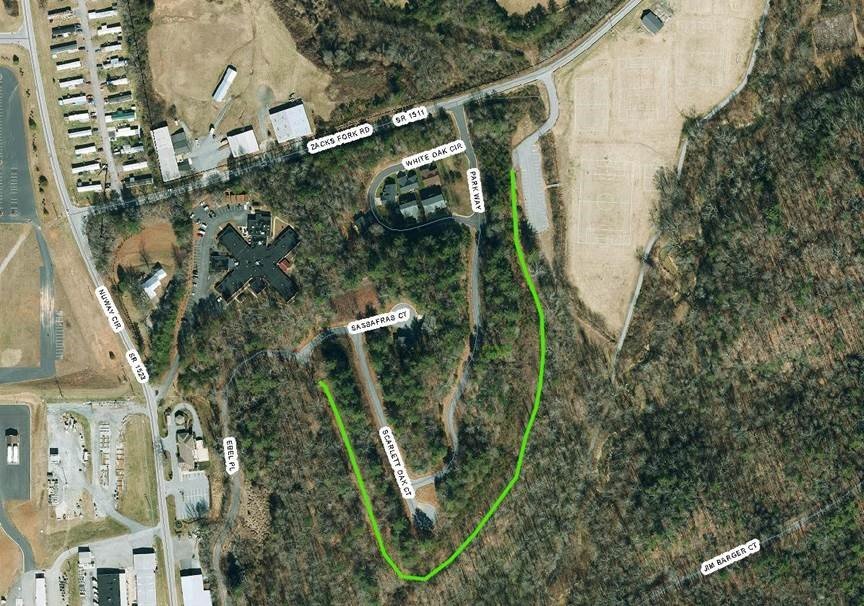
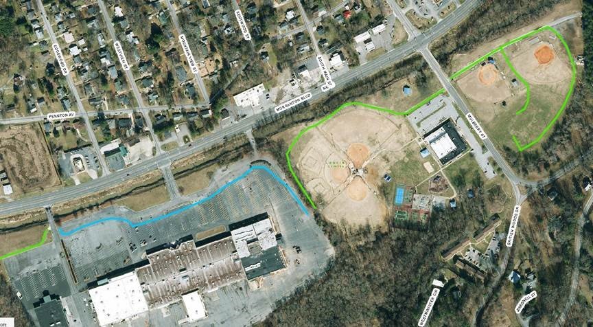
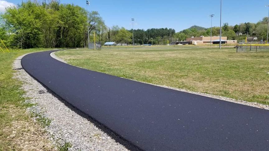
Public Works Department crews paved another section of the Overmountain Victory National Historic Trail (OVNHT) from College Avenue south to Morganton Boulevard last week. Workers also paved a section of greenway from the Lenoir Rotary Soccer complex to Sassafras Court in the Parkview subdivision, a section between Sherlee Street and Severt Circle, and a section at Mulberry Recreation Center from Mulberry Street to the Waterlife Church parking lot.
City Manager Scott Hildebran said the next step is to connect the various segments of greenway around Lenoir via street crossings, sidewalks, or more greenway.
“The Hospital Avenue sidewalk project is also moving forward. Once that’s complete, residents near downtown will have sidewalk access to the library and the greenway,” Hildebran said.
In February, the City received a $250,000 Recreational Trails Program grant to design and build three street crossings along the OVNHT that runs through downtown. The grant will help connect the OVNHT between Harper and College avenues.
Once the City gets all the segments connected, many residents will be able to walk or bike to the greenway and then take the greenway to any of the City’s recreation centers and Downtown Lenoir.
“We want residents to be able to get on the greenway at the aquatic center and go all the way to Mulberry Rec or the Martin Luther King Center, and vice versa,” Hildebran said. “We just have to keep working to make those connections.”
Altogether, the City of Lenoir has about nine miles of paved, accessible greenway and another three-plus miles of gravel and dirt trails. In addition to paved greenway, the Zacks Fork Bike Trail offers nearly three miles of off-road trail for mountain biking. The trail is near the Lenoir Aquatic & Fitness Center.
Click here for more information about the greenway.
Click here to view the Greenway Map (PDF).